
Mansfield ZIP Coverage
The official Massachusetts postal-name material identifies two postal names relevant to a Mansfield ZIP code search. Mansfield is associated with 02048, the primary Mansfield mailing ZIP. East Mansfield is associated with 02031. The research does not capture a live USPS city-by-ZIP result or an address-level delivery result for either ZIP, so the table deliberately distinguishes a supported postal-name finding from an unverified delivery boundary. The Mansfield ZIP code directory should preserve that difference rather than turn a postal label into a town map.
| ZIP | Areas Covered | Post Office | Notes |
|---|---|---|---|
| 02048 | Mansfield preferred postal name; primary Mansfield mailing ZIP in official state postal-name material | Mansfield Post Office, 12 Giles Place, Mansfield MA 02048-9998 | Phone 508-339-6942; Mon-Fri 8:30 a.m.-5 p.m., closed weekends; PO Box access listed 24/7 |
| 02031 | East Mansfield postal name in official Massachusetts postal-name and telecommunications material | No separate post-office detail captured | Use USPS address-level verification; no town-line polygon or carrier boundary was captured |
Neither row proves which side of a municipal line every address falls on. The available evidence identifies postal names and the main Mansfield Post Office details for 02048. It does not establish a separate 02031 station, a PO-box-only ZIP, a unique ZIP, or a carrier route for Mansfield. A current mailing result belongs in the USPS tool, not in an assumption drawn from the place name alone.
Mansfield ZIP Postal Names
Postal geography and municipal geography solve different problems. A postal name tells the Postal Service how an address is handled. A town line tells which municipality has civic responsibility. The Massachusetts research identifies Mansfield 02048 and East Mansfield 02031 as preferred postal names, but it does not support a claim that 02031 forms a Mansfield-only polygon, is wholly outside Mansfield, or exactly follows a town line. That is why the postal place should be copied exactly from an official result before it is compared with an assessor or deed record.
The same caution applies to historical material. The 1918 A.E. Foss directory uses E.M. for East Mansfield and W.M. for West Mansfield. Those abbreviations can explain an apparent address mismatch, but they do not convert old directory geography into a modern ZIP boundary. Match the postal place, street, town, and date together. A historical street entry may need a cross street, parcel, plan, or adjacent name before it can be related to a current address.
Mansfield ZIP Verification
The USPS ZIP Lookup is the documented verification route for a mailing ZIP. It offers an address search, a city-and-state search, and a cities-by-ZIP search. The address mode needs a street address and permits company, apartment or suite, city, state, and ZIP entries. The city-and-state mode needs city and state. The cities-by-ZIP mode needs the ZIP itself. A unit number may be needed where multiple delivery points share a base address.
| USPS search mode | Required fields | Use and limit |
|---|---|---|
| ZIP by address | Street address | Checks a delivery ZIP; company, apartment or suite, city, state, and ZIP are optional inputs. |
| ZIP by city and state | City and state | Finds ZIP information from the locality inputs; it is not an address-specific boundary decision. |
| Cities by ZIP | ZIP | Returns postal-place information for a ZIP; verify a real delivery address separately when needed. |
USPS warns that an address result does not confirm a person or company at that address. The result is a mailing-address check. It should not be read as evidence that someone lives there, owns the parcel, or is connected to a particular record. Preserve the full input and returned postal form when a later property or historical search depends on it.
Mansfield ZIP Record Searches
No verified Mansfield portal in the research provides a public ZIP-wide resident roll. The useful method begins with an address, then changes keys as the research question changes. USPS verifies a mailing ZIP. AxisGIS provides address and parcel context. The Northern Bristol Registry uses town, party, street, and deed-related search paths rather than ZIP. The Massachusetts voter self-check uses a residential ZIP only inside an own-status identity match. Each system has a distinct limit, so a ZIP should narrow a question rather than replace its other details.
- Use the USPS address mode to verify the mailing ZIP and postal name for a full street address. Add a unit when the tool requires one.
- Open Mansfield AxisGIS with the property address or parcel key. Keep the situs address separate from the owner's mailing address.
- Use the Northern Bristol Registry's town-based deed search when title evidence is needed. The deed portal is not a ZIP filter.
- Use the Massachusetts voter status search only for the person's own status with its required identity fields, including residential ZIP. It is not a ZIP-wide browse tool.
- After an address is normalized, use the Mansfield street directory for the fuller street-by-street property and record workflow.
A ZIP can therefore support a careful handoff, but it does not furnish a complete current household list. Parcel records may identify an assessed owner or tax-mailing address. Historical listings may identify past occupants. Both require date, source, and address checks.
Mansfield ZIP Field Limits
Mansfield AxisGIS configuration exposes an `OwnerZip` assessment field, along with PID, owner name, co-owner name, property address, owner address, owner city, owner state, and parcel number. That confirms that ZIP can appear as an owner-mailing field in the configuration. It does not confirm that the live public viewer accepts a ZIP filter, returns all parcels in one ZIP, or provides reliable ZIP-wide counts. Do not describe the viewer as a ZIP directory unless the live controls are independently checked.
The configuration also shows two parcel-number formats: `000-000` in one interface setting and `000-000-000` in a report or search setting. This is a practical data-entry quirk, not evidence of two kinds of property. When a parcel lookup fails, try the documented format expected by the live field and retain the PID. A parcel number bridges map, assessment, deed legal description, and municipal records more reliably than a postal name.
Mansfield ZIP Boundary Limits
MassGIS ZIP data provides modeled five-digit ZIP polygons, while MassGIS states that USPS does not maintain an official ZIP polygon map. That warning is central to a Mansfield ZIP code directory. A modeled polygon is useful geographic context, but it cannot establish the exact delivery area, municipal jurisdiction, or the correct postal name for one address. Use the Postal Service for delivery verification and town or parcel records for municipal and property questions.
Review the captured MassGIS ZIP-boundary source before treating a map shape as an official postal boundary.
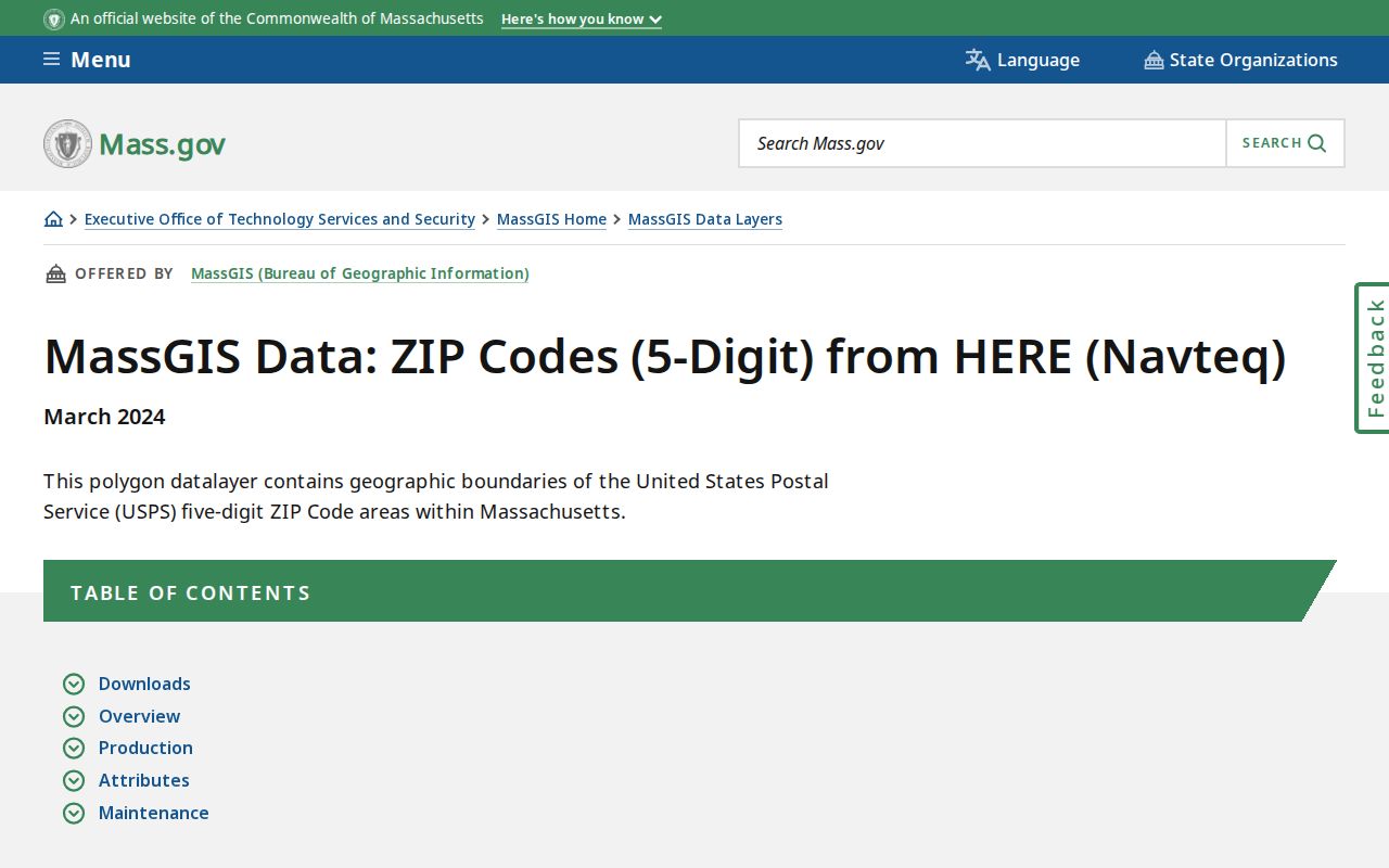
The MassGIS source makes the distinction clear: modeled polygons can frame research, while USPS address results determine postal delivery information.
- ZIP
- A postal routing code used to help deliver mail. It is not a municipal boundary or a proof of who is at an address.
- ZIP+4
- A more specific ZIP form used to refine delivery routing. The research did not capture a Mansfield ZIP+4 coverage table.
- PO Box ZIP
- A ZIP used for Post Office box service. No Mansfield PO-box-only ZIP was identified in the available research.
- Unique ZIP
- A ZIP assigned for a single organization or delivery use. No Mansfield unique ZIP was identified in the available research.
- Carrier route
- A delivery-route grouping used by the Postal Service. No Mansfield carrier-route boundary was captured in the research.
Mansfield ZIP Address Keys
Mansfield's addressing bylaw makes the address itself an important research key. Street numbers run sequentially, with even numbers on one side and odd numbers on the other. Condominiums and apartments use a street number plus building letter and three-digit unit convention, with the bylaw example “287 Chauncy St Unit A201.” The Assessor assigns numbers based on the front-door location and consults Police and Fire for corner or conflict cases. A number may be changed through certified notice and E911 enforcement.
When an old number does not fit a modern result, bridge it with a street direction, cross street, legal description, plan, adjoining owner, or the 1918 directory's street narrative. No official historical Mansfield conversion list or dated townwide renumbering project was located. The careful conclusion is a documented gap, not a guessed match. Keep the postal ZIP beside, rather than in place of, the physical address and parcel identifier.
Note: A mailing ZIP, situs address, owner mailing address, and legal description are different fields that should remain separate in Mansfield research notes.
Mansfield Parcel Data Dates
Current-looking map data still needs a date check. The AxisGIS configuration inspected for Mansfield states an assessment-current date of 2024. MassGIS reports that Mansfield appeared in the April 2025 municipality release, then says the FY2025 parcel database was replaced with an FY2024 version at the Assessor's request because valuations were not approved. That history matters when a ZIP-related parcel result is compared with a tax year or a dated deed.
Use the live data date shown by the custodian rather than calling a result current without a date. The MassGIS parcel publication can add statewide context, while AxisGIS and the Assessor remain the local parcel sources. A ZIP label does not resolve a valuation year, owner-mailing field, or parcel boundary.