
Mansfield Neighbors by Parcel
Public sources can describe parcels around a Mansfield address, but none provides a complete record of every person in the homes on a block. Start with the parcel map and distinguish its assessed-owner fields from other kinds of evidence. A certified abutters list serves a defined property or project. A recorded deed may identify parties and boundaries. Historical listings can add past street context. Each source has a different custody rule, and a missing name may reflect a protected or simply unindexed record.
| Source | What It Shows About a Block | Access |
|---|---|---|
| AxisGIS parcels | Adjacent parcel geometry, parcel keys, assessed-owner and mailing fields, and map layers | Public dynamic map requiring manual interaction |
| Assessor abutters list | Certified abutting-owner list for a defined property or project | Request and certification through the Assessor; confirm fee and format locally |
| Recorded deeds and plans | Adjoining owners, easements, lot boundaries, and subdivision history | Registry name, street, and plan searches; official copies are separate |
| Voter file | Lawfully released voter, address, or precinct fields where current rules permit | State or local request, not self-check browsing |
| Street Listings and directories | Historical neighbors and street sequence | Library Certuse Room and the public 1918 scan |
| Civic or congregation material | Public contact or event information | Organization-controlled public material, not member rolls |
Assessed ownership is a property role. It is not proof that an owner lives at the parcel, and it says nothing complete about other household members. Keep the map’s boundary, parcel identifier, owner field, and mailing field separate. That discipline helps Mansfield neighbors research remain tied to what the source actually displays.
Mansfield Parcel Edge Method
The immediate-block workflow begins in Mansfield AxisGIS. Find the subject address or PID, then zoom until the parcel edges and streets can be read. Click the subject parcel first and inspect its fields. Next, move only to parcels that touch it or lie directly across the street. A road, right-of-way, water feature, common area, or lot line can separate two parcels that appear close on a small map, so use layers and the visible boundary rather than a rough radius.
- Locate the subject address or PID and record the PropertyAddress, parcel key, and displayed owner and mailing fields.
- Zoom until the parcel outline and streets are readable. Identify whether an apparent neighbor is a parcel, public way, common land, or separately assessed unit.
- Click each touching or across-street parcel one at a time. Record its PID or ParcelNumber before comparing any owner or mailing fields.
- Use a deed or plan only when the boundary question needs confirmation. Compare the legal description, easement, or plan with the map rather than guessing from an address number.
The research inspection did not confirm a live buffer, measure, export, or select tool in AxisGIS. Do not describe one as available without checking it in the live viewer. For a full named-street record chain, use the Mansfield By Street directory; the block method is deliberately narrower.
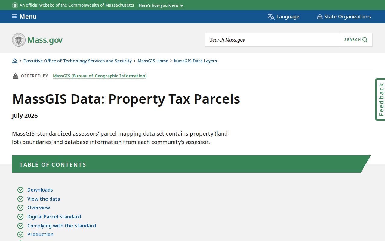
The MassGIS property-tax parcels page describes the statewide parcel-data publication and its Mansfield update context. The image is a source view of that official data route, while the local block work still happens by selecting individual parcels in the town viewer.
Parcel numbers bridge the map, the assessment record, the legal description, and many municipal records. Save each one with the date checked. A later map refresh or ownership transfer can change what the current display shows.
Mansfield Abutter Record Check
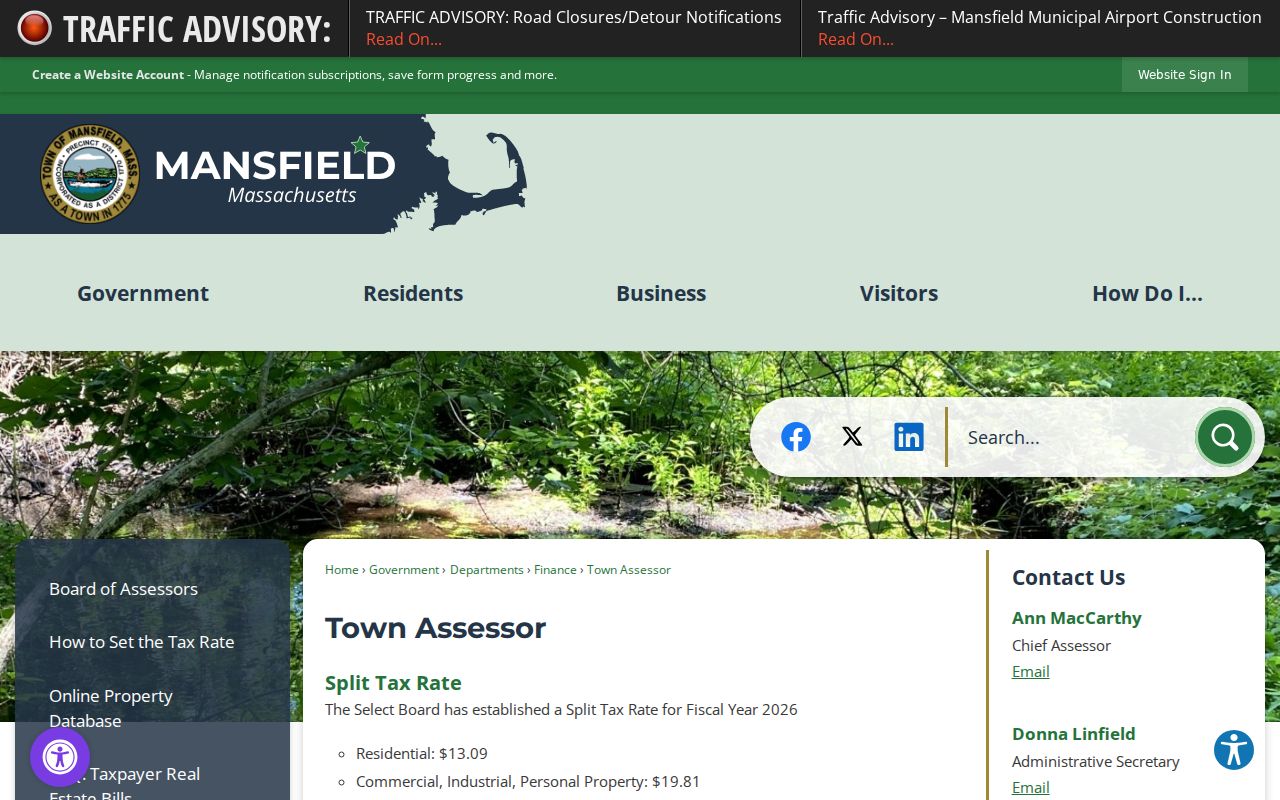
The Mansfield Town Assessor lists valuation, exemptions, municipal lien certificates, maps, and certified abutters lists among its services. An abutters list is the better official route when a defined property or project needs the certified names of owners of abutting parcels. It is not a general community directory. Confirm the requested property, current certification process, fee, and format with the Assessor before relying on it.
Insider tip. AxisGIS keeps the situs address, where the parcel sits, separate from OwnerAddress and related mailing fields. A mailing address can be outside Mansfield. Preserve it as a tax-mail destination, not as a statement about who is present at the property.
Deeds and plans can explain why two parcels meet. Use the Registry’s Recorded Land search for grantor, grantee, town, date, and document type, then use its plan or image routes when the legal description points to a plan. The street inquiry is convenient but incomplete because not every recorded document has a street field. Easements, subdivision plans, and common land may explain an adjacent shape without adding a person to a block record.
Mansfield Voter Lookup Myth
Myth. Massachusetts voter status can be searched by street to identify Mansfield neighbors. The public Voter Registration Search is an individual self-check. It asks for first name, last name, date of birth, residential ZIP, and an agreement checkbox. It does not browse addresses, and it does not prove that everyone near a parcel is registered.
Block-level voter material follows a separate legal route. M.G.L. c.51 includes rules for voter records, central-registry access, and protected information. A current voter-file request must follow Elections Division or Town Clerk procedures and their access and use restrictions. Never infer ballot choices, full birth information, or a complete household from any released field. Protected voters and Address Confidentiality Program participants can be omitted or masked.
Note: A self-status search answers a personal registration question, not the question of who belongs in a Mansfield neighborhood.
Mansfield Community Record Sources
No official townwide neighborhood-association directory or public member directory was located in the Mansfield research. That absence matters. It is better to use public-facing organizations as sources of history, public events, or research contacts than to fill the gap with an unverified roster. The town’s Select Board and department pages, public meeting material, library, Historical Society, local civic groups, and churches are lawful discovery routes for publicly offered information.
| Public-facing source | Useful block context | What it does not provide |
|---|---|---|
| Mansfield Historical Society | Local photos, newspapers, artifacts, books, and a research contact | A neighborhood member roster |
| Mansfield Historical Commission | Public history and preservation context | A current-household directory |
| Mansfield Public Library genealogy resources | Genealogy Club, historical resources, and research leads | A list of private members or current homes |
| Town meeting reports and warrants | Named officials, committees, civic projects, and public notices | A verified list of everyone on a block |
Historical street listings and the 1918 regional directory can place a household in an earlier street sequence, subject to their dates and gaps. They are useful for family history and address context, not for a current-neighbor claim. When a local organization controls its own membership information, respect that boundary and use only what it makes public.
Mansfield Neighbor Source Comparison
Official property and records sources identify a custody trail and show the limits of their data. Commercial neighbor-lookup services are a different category. They may combine public property, phone, and address-association data, but their matching and refresh methods are not a substitute for a current parcel card, a deed, or a public meeting record. Compare the question, source date, and record role before treating any result as useful.
| Source category | Best use | Key limit |
|---|---|---|
| Official parcel and assessor records | Current parcel geometry and assessed-owner context | Does not identify every person connected with a home |
| Registry deeds and plans | Recorded parties, parcel history, legal boundaries, and easements | Recorded role is not current presence at the property |
| Historical library sources | Past street sequence and household context | Historical material is not current status |
| Commercial compiled records | Potential lead requiring independent verification | May contain stale data, same-name merges, or assumed associations |
Use the official record when it answers the question. If a compiled result points to a parcel, verify the parcel in AxisGIS and then check the Registry if a recorded transfer or boundary matters. That order keeps a Mansfield neighbors search grounded in the source that owns the fact.
Mansfield Historical Block Context
A present-day parcel map is not a history of the block. The Mansfield Public Library’s Certuse Room holds Street Listings from 1870 through 2021, with missing years, as well as house files, yearbooks, town reports, cemetery records, and photographs. The 1918 Mansfield, Norton, and Raynham directory adds an older regional street sequence. Pair those materials with a deed date, legal description, census, or newspaper item before assigning an older address to a current parcel.
Street numbers can change and a current number is not the same as a legal lot. Preserve the old number, cross street, parcel or PID, and legal description before looking backward. A building permit can document work at an address but does not establish every person associated with it. Mansfield News, obituary material, probate, cemetery, and town-report sources may add a dated fact where a parcel record alone cannot.
Mansfield Neighbor Privacy Rules
Some block information is purposely unavailable. Household members outside owner records, private utility and delivery data, protected voter information, Address Confidentiality Program addresses, restricted court addresses, and motor-vehicle information are not an open block directory. An Address Confidentiality Program participant may use a substitute address with state and local agencies. A masked or absent result should never be treated as a reason to dig further.
Public parcel boundaries do not authorize repeated contact, pressure, or publication of private details. Massachusetts stalking and criminal-harassment provisions, M.G.L. c.265 §§43 and 43A, address repeated unwanted conduct. If a record appears inaccurate, ask the custodian about correction or the governing exemption rather than attempting to work around a protected record.
Lawful use. Use Mansfield block records for personal, lawful research, property questions, family history, or civic context. Never use any record to watch, harass, intimidate, or harm another person.